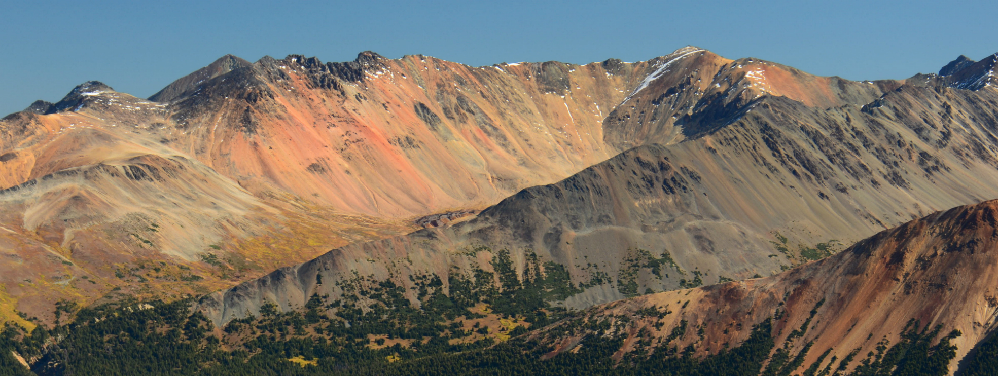
Dasiqox is a proposed land, water and wildlife management area located in traditional Tŝilhqot’in territory, located about 125 kilometres southwest of Williams Lake, BC in the shared caretaker areas of Xeni Gwet’in and Yuneŝit’in. The area includes about 300,000 hectares of wilderness and wildlife habitat, and borders a number of existing parks and protected areas.

Legend

Language: Tsilhqot'in
English
Highways
Main Roads
Dasiqox IPCA
First Nations Reserves
BC Parks, Protected Areas & Conservancies

Tsilhqot’in Proven Title & Rights Area
Zoom Controls:
This map is a graphic representation for general information only – it may not represent legal boundaries and should not be used for navigation.
________________
Tŝilhqot’in Placenames labels have been provided by Tŝilhqot’in National Government, Stewardship Department.
Although the Tŝilhqot’in National Government is continually seeking to improve the quality of our placenames dataset, it is incomplete and unverified. Do not rely on these placenames as being a precise location of features, routes or boundaries, or for any representations, expressed or implied. The Tŝilhqot’in National Government, its employees, and agents shall not be liable for any claims for damages or loss arising directly or indirectly from the use, application or interpretation of these place names.